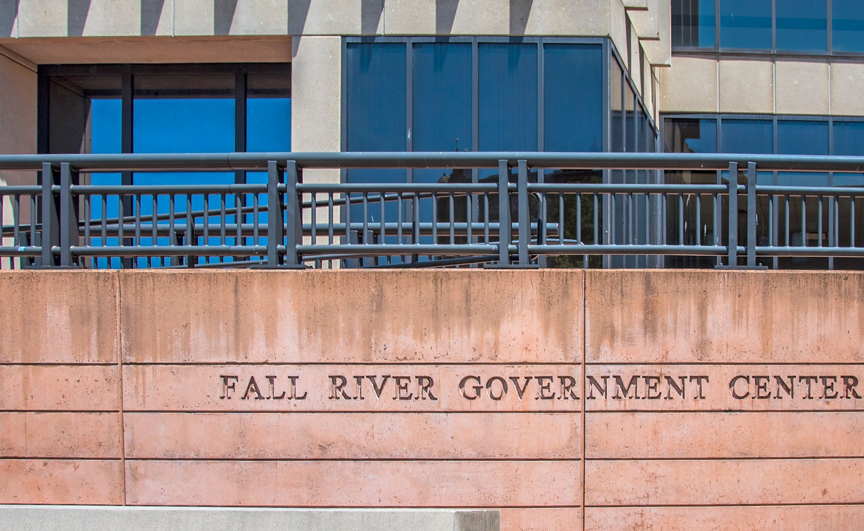
Fall River, MA
The 33-square-mile City of Fall River is one of Massachusetts’ ten largest cities, with five miles of shoreline exposed to open ocean at Mount Hope Bay and the remainder fronting the mouth of the Taunton River. The City is located in Bristol County and occupies portions of the Taunton River, Narragansett/Mount Hope Bay, and Buzzard’s Bay watersheds; as of 2019, its year-round population was 89,541.1 The City has a Median Household Income (MHI) of $41,585 and a Per Capita Income (PCI) of $24,600, both metrics considerably lower than the Massachusetts MHI of $77,378 and PCI of $41,794. Nearly 20% of Fall River residents fall below the poverty threshold and roughly 25% of the City is home to Environmental Justice populations located predominantly between I-195 and Route 24, along Mount Hope Bay.
The City of Fall River supplies drinking water to nearly 100,000 residents from two surface sources – North Watuppa Pond and the Copicut Reservoir; a third source, South Watuppa Pond, is used for emergency supply. The City also sells water to other public water systems including the towns of Tiverton, Westport, and Freetown. The majority of the water system infrastructure pre-dates 1930 and today consists of over 230 miles of distribution main, 7 water storage tanks, and 216 miles of pipe, most of which were installed prior to 1930 and some as early as the late 1800’s; the system also includes 2,184 hydrants for fire emergencies. The age of the water system renders it substantially susceptible to severe damage from increasingly frequent natural hazards documented in the 2016 Fall River Hazard Mitigation Plan.